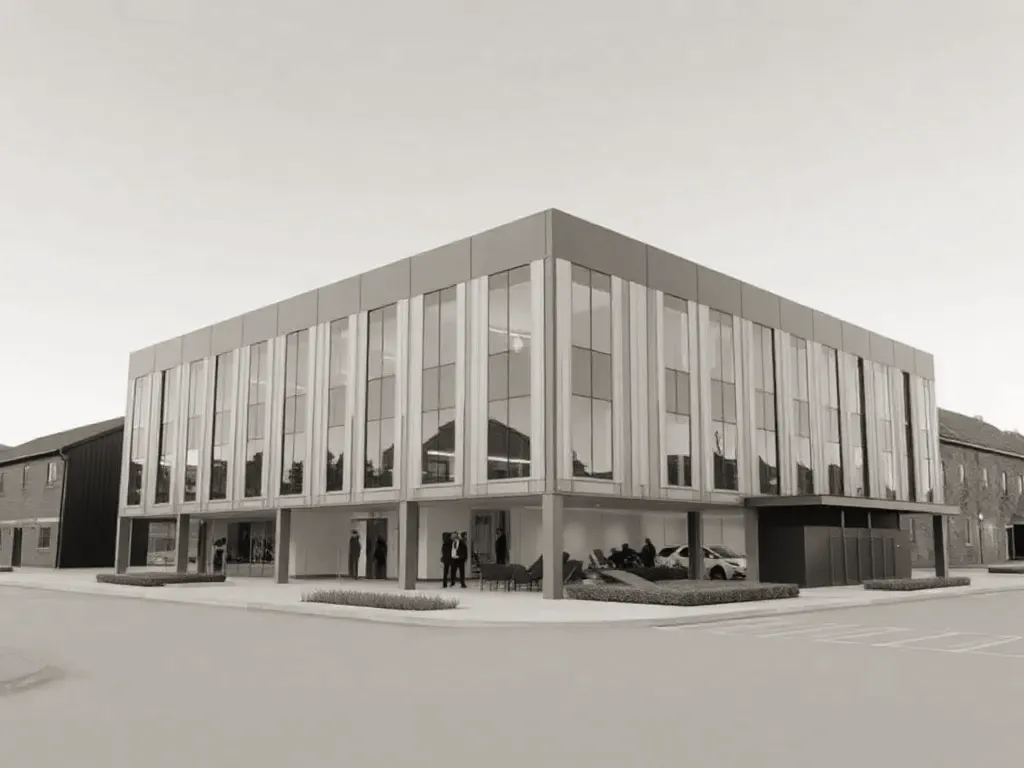
A measured building survey is a precise dimensional record of an existing structure, capturing walls, floors, openings, levels and features so that design work starts from verified reality rather than assumption. It produces the base drawings — plans, elevations and sections — that an architect needs before a single design decision is made. It comes first because everything else depends on its accuracy.

Why the survey has to come first
Design built on guesswork fails at the worst moment: on site, mid-construction, when a wall is not where the drawing said it was. A measured survey removes that risk by establishing the true geometry of what already exists. The architect then designs into a known envelope.
Older buildings are rarely square or level. Floors slope, walls bow, and rooms that look rectangular are often anything but. A reliable as-built record — drawings that show the building exactly as it stands — captures these irregularities so they can be accommodated rather than discovered later.
Starting with accurate data also protects the project commercially. Planning submissions, structural calculations, party wall matters and contractor pricing all rely on the same base information. When that base is wrong, the errors cascade through every later stage. A survey done properly at the outset is usually far cheaper than the rework it prevents.
Topographical versus building surveys
It produces the base drawings — plans, elevations and sections — that an architect needs before a single design decision is made.
These two survey types answer different questions, and many projects need both. A topographical survey records the land: ground levels, boundaries, trees, drainage covers, kerbs, and the position of nearby structures. A measured building survey records the building itself, inside and out.
The distinction matters most on sites with a slope, an extension wrapping around an existing house, or a new structure sitting close to a boundary. The topographical survey shows how the building meets the ground and how the site falls; the building survey shows what is already standing.
- Topographical survey — external levels, site features, boundaries and contours, usually tied to a known datum and a national grid reference.
- Measured building survey — internal and external dimensions, floor plans, elevations, sections, ceiling heights and structural openings.
For a straightforward internal refurbishment, a building survey alone may suffice. For a new build or a substantial extension, the two are normally combined so that the design coordinates with both the structure and the land it sits on.

From point cloud to 3D model
Modern surveys are increasingly captured with a laser scanner. The instrument sweeps the space and records millions of measured points, each with a position in three dimensions. The result is a point cloud — a dense, accurate snapshot of every surface within the scanner's view.
A point cloud is data, not a drawing. On its own it is hard to design with, so it is processed into usable outputs. Surveyors register the individual scans together into a single coordinated dataset, then trace the geometry to produce drawings and models.
From that cloud, two main deliverables follow:
- 2D as-built drawings — plans, elevations and sections drafted to a stated scale, suitable for design development and planning.
- A 3D model — a three-dimensional representation of the building, often built in BIM (Building Information Modelling) software, which holds geometry the architect can work within directly.
The advantage of scanning is completeness. A traditional survey records only what the surveyor chose to measure on the day; a point cloud captures everything in view, so a question that arises months later can sometimes be answered from the existing data without a return visit. The trade-off is file size and the processing time needed to turn raw points into clean, ordered drawings.
Not every project justifies a full scan and 3D model. A small extension may be served perfectly well by traditional measurement and 2D drawings. Complex geometry, heritage fabric, listed buildings and large floorplates are where scanning earns its keep.
How accurate are the results?
Accuracy is best discussed in two parts: the precision of the raw measurement, and the tolerance of the finished drawing. The two are not the same.
Laser scanners measure individual points to within a few millimetres at typical building distances. That figure describes the instrument, not the deliverable. The drawing produced from the data carries its own tolerance, which depends on how the survey is processed and what scale it is drawn to.
Surveys are commonly specified against published standards that define the tolerance for a given scale and category of detail. A drawing at 1:50, for example, will carry a tighter tolerance than one at 1:200, because more detail is expected to be shown accurately. It is worth confirming the intended scale and tolerance before work begins, since these determine how the survey can later be used.
Several practical factors affect real-world accuracy:
- Line of sight — a scanner only records what it can see, so concealed cavities, voids above ceilings and the inside of closed cupboards are not captured unless opened up.
- Registration quality — combining many scan positions introduces small errors, which good control and survey method keep within tolerance.
- Datum and control — tying the survey to a known reference point keeps separate surveys, such as topographical and building data, consistent with each other.
- Interpretation — drafting a wall from a point cloud still involves judgement about where a surface begins, particularly on rough or rendered finishes.
For most architectural purposes, a properly executed measured survey is accurate enough that the design can be detailed with confidence. Where structural alterations, tight site boundaries or thin tolerances are involved, it is reasonable to ask the surveyor to state the accuracy band in writing and to confirm which standard the work meets. A clear specification at the start prevents disputes about fitness for purpose later.
Updated: June 2026